


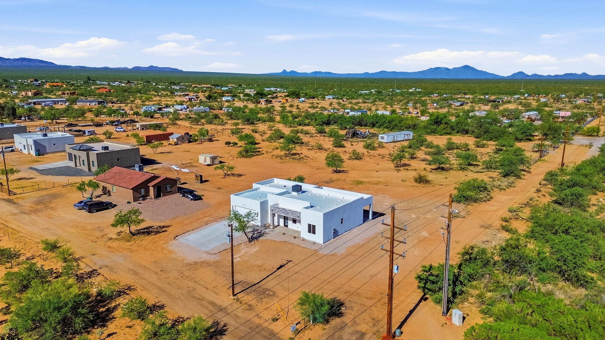
Drone photography is most useful when it explains something a ground-level photo cannot: the shape of the setting, the relationship between buildings or how a home sits within its surroundings. For Tucson real estate, aerial views can give buyers context for desert acreage, mountain backdrops, courtyards and outdoor amenities.
The goal is a clear property story. A small set of purposeful aerial images is often more useful than many distant views in which the home is hard to identify.
Which properties benefit from aerial coverage?
Consider aerial photography for a home with a large lot, a detached casita, several structures or a distinctive outdoor area. It can also help explain a corner location, an unusual driveway or the relationship between a house and surrounding open space.
For a compact property with few exterior features, interior and ground-level photographs may do more of the work. Choose aerial coverage because the view adds information, not simply because it looks dramatic.
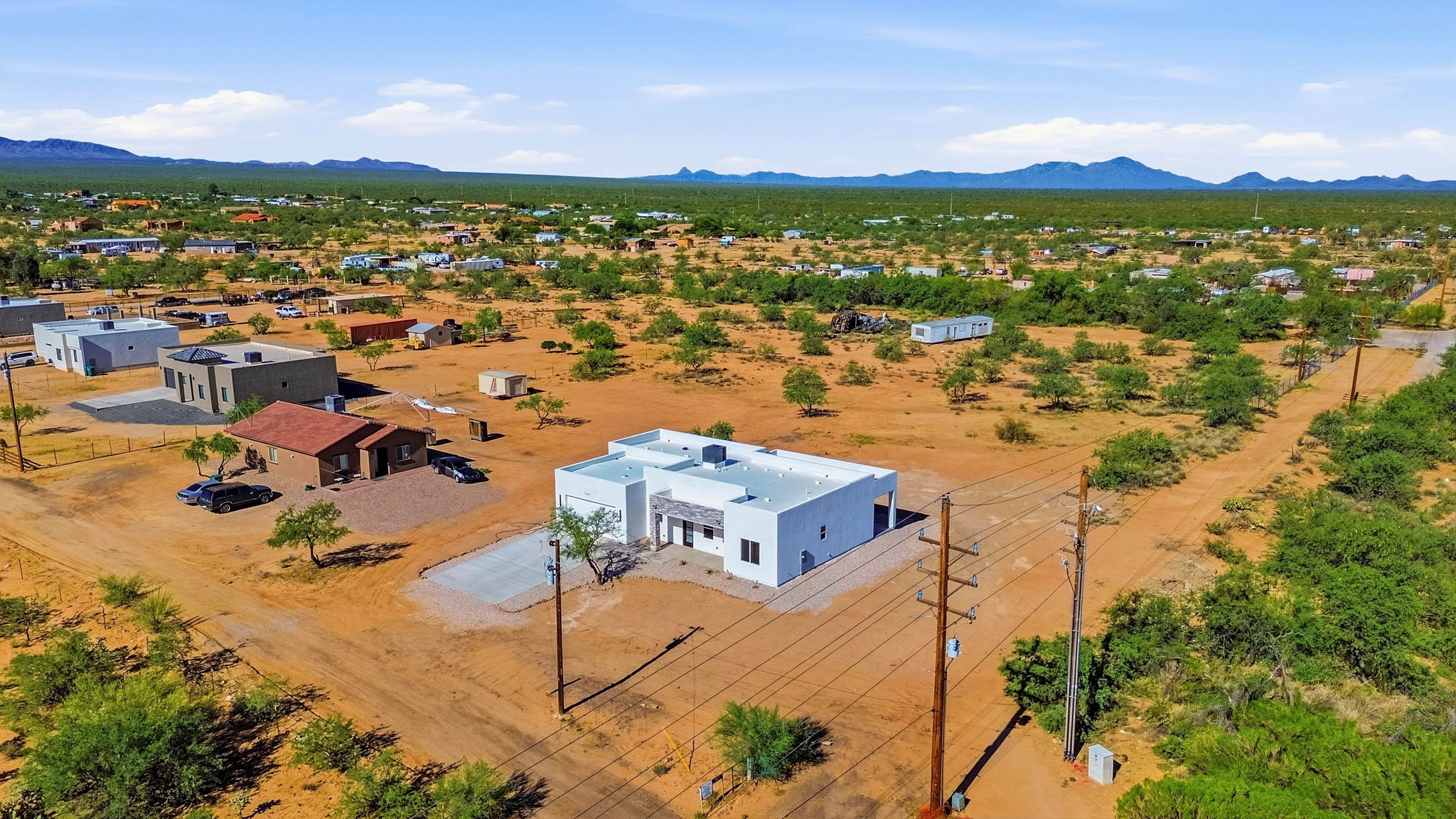
Ask for views that answer buyer questions
A clear exterior overview
Use an angle that keeps the home recognizable while showing its immediate setting. The viewer should understand which building is being marketed without searching the image.
The relationship between outdoor spaces
Show how the patio, pool, guest house or driveway connects to the main home. A lower oblique angle may communicate that relationship better than a very high overhead view.
Wider location context
A wider image can show surrounding terrain and nearby features. Keep descriptions precise: a mountain visible in the background is not the same as a view from every room, and a nearby amenity should not be presented as part of the property.
Prepare the exterior before the appointment
Move vehicles that obscure the house, put away hoses and maintenance equipment, and tidy patios and pool areas. Share the priority features and property access details with the photographer. Let the team know about animals, nearby activity or obstacles that may affect the plan.
Aerial capture depends on weather, airspace, visibility and safe operating conditions. Confirm availability for the exact address when booking. Wind or other conditions may require a different capture time or an alternative shot plan.
Keep lot markers and editing accurate
If you request an approximate property outline, provide reliable boundary information and have the final graphic checked before use. An illustrative line on a photograph should not be treated as a survey. Avoid edits or captions that suggest neighboring land, buildings or amenities are included when they are not.
Combine aerials with a complete listing gallery
Pair the establishing aerial view with room photographs and ground-level exteriors. A property video can connect the spaces, while a 3D tour helps viewers explore the interior layout.
Review our Tucson photography pricing guide to see how aerial coverage fits into the current packages. Book Better Faster Photo and describe the features you want buyers to understand.

